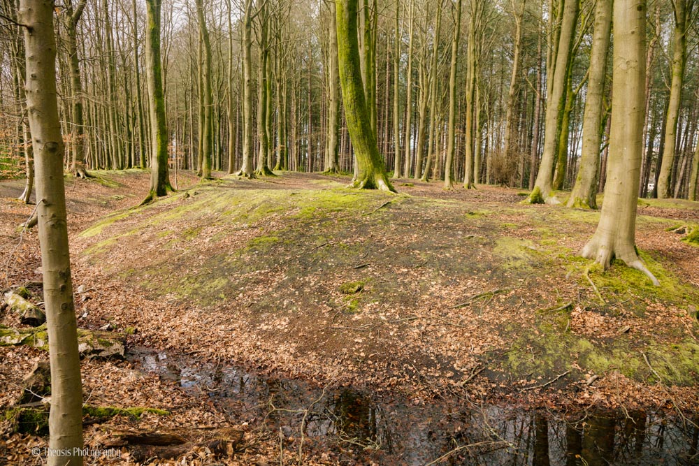
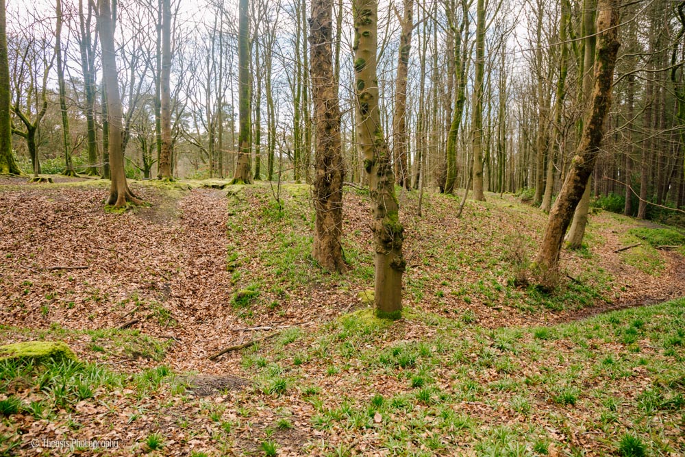
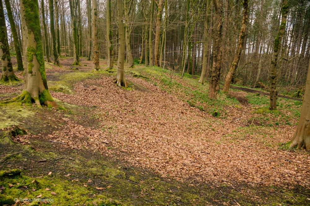
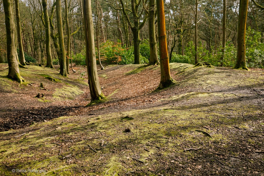
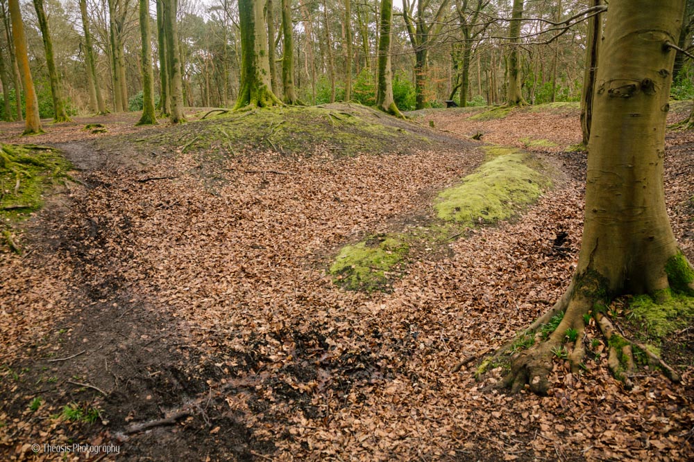
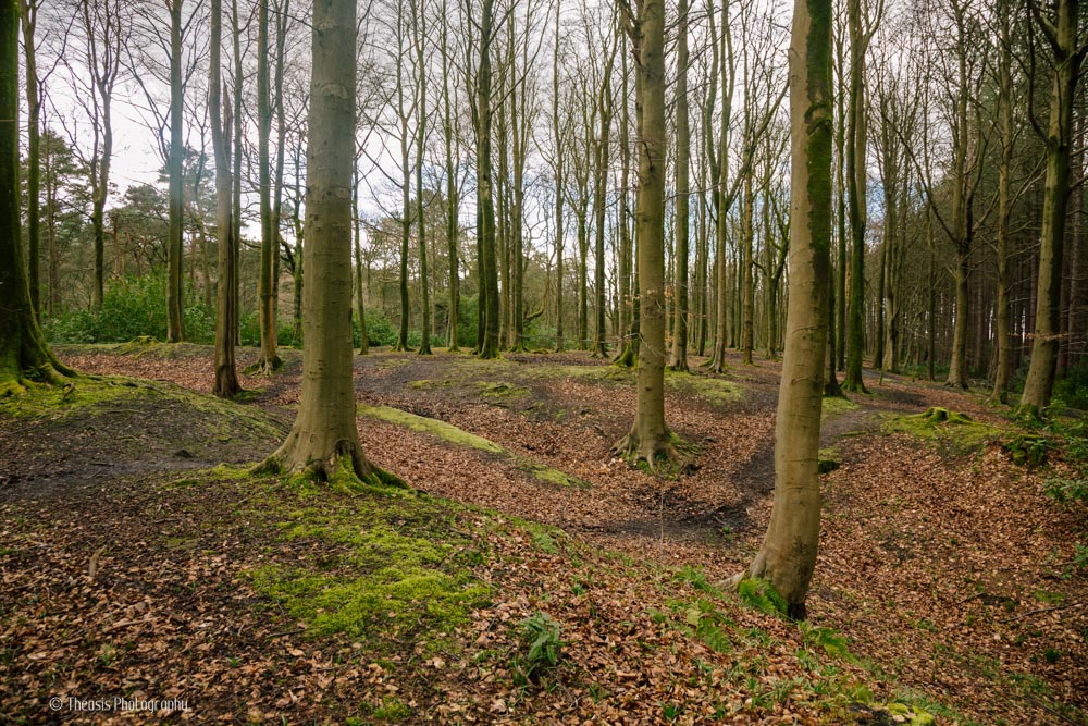
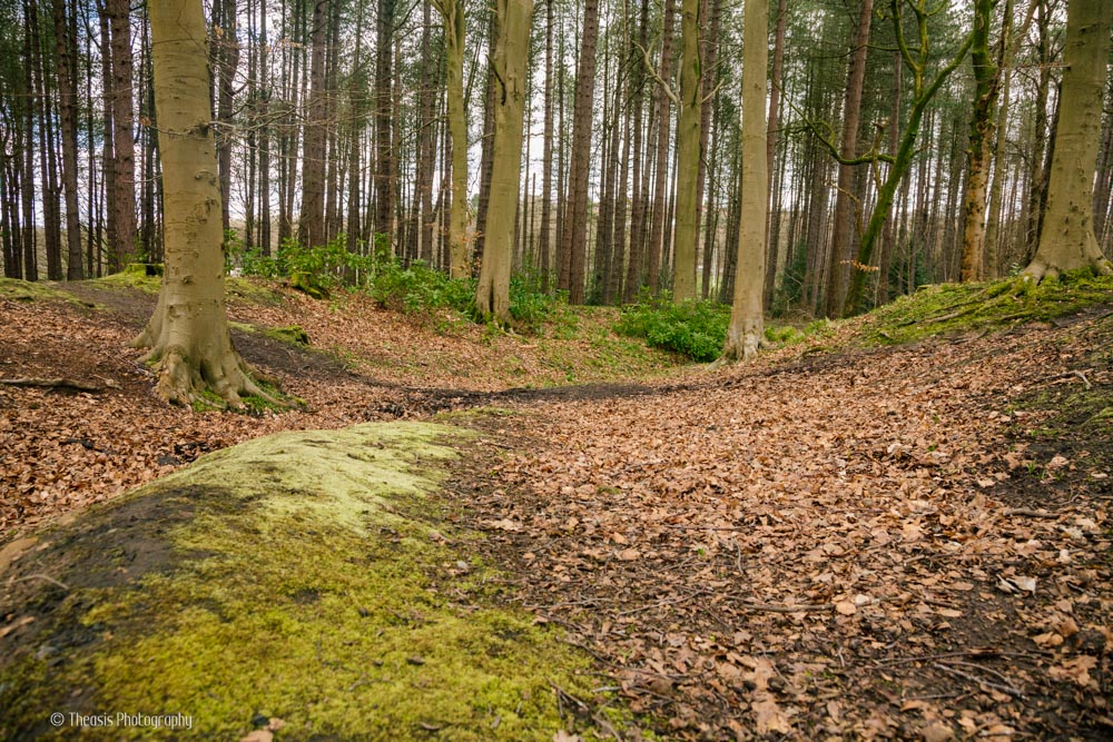
In the woods of Glasgow's Pollock Park, this 30 metre (100 foot) diameter Iron Age enclosure is easily missed. It had been thought to be mediaeval, possibly Norman, in date. But excavations in 1959 and particularly 2007 showed it to be likely to be Iron Age.
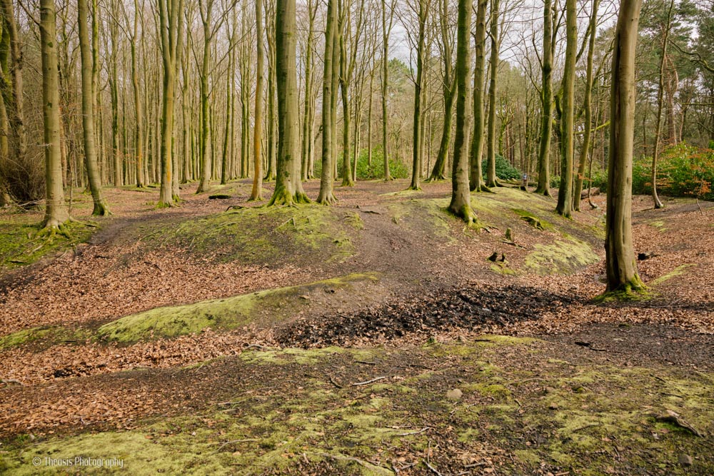
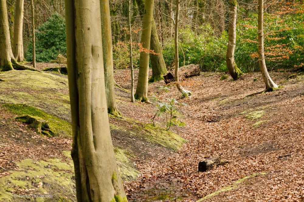
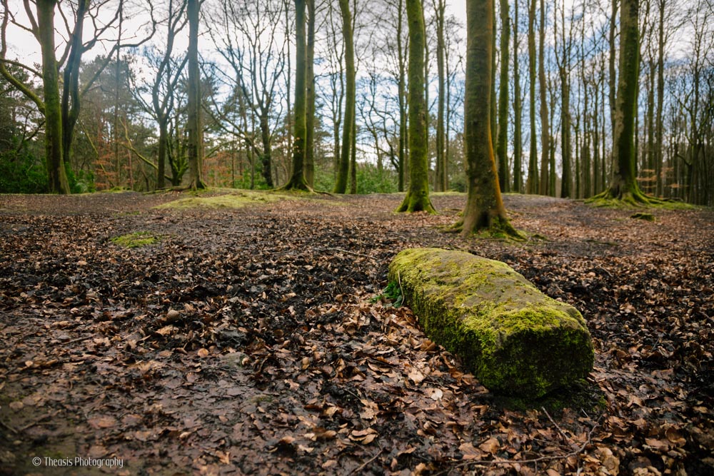
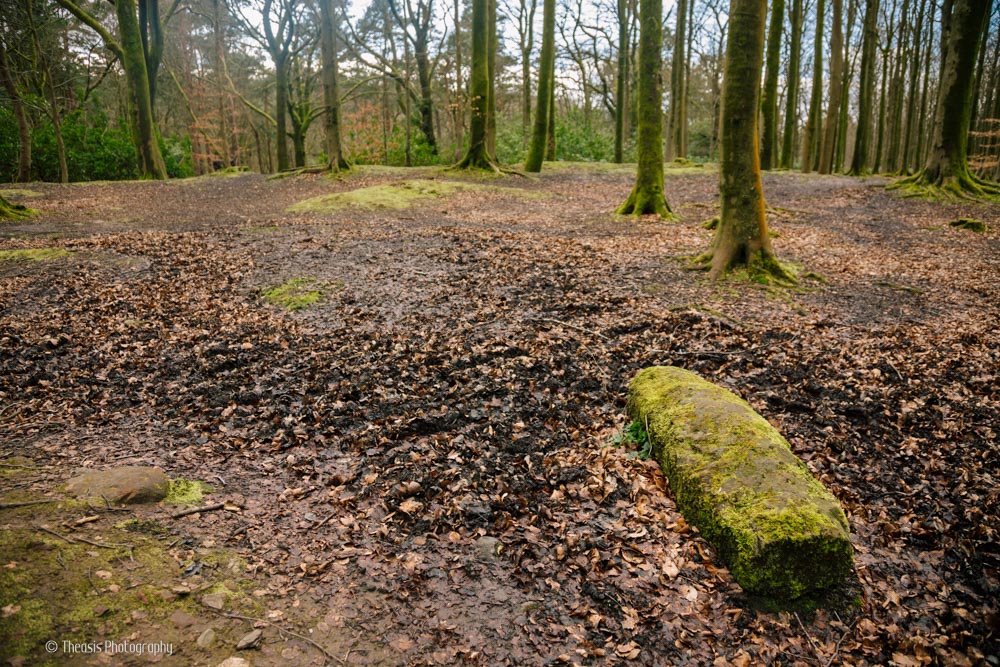
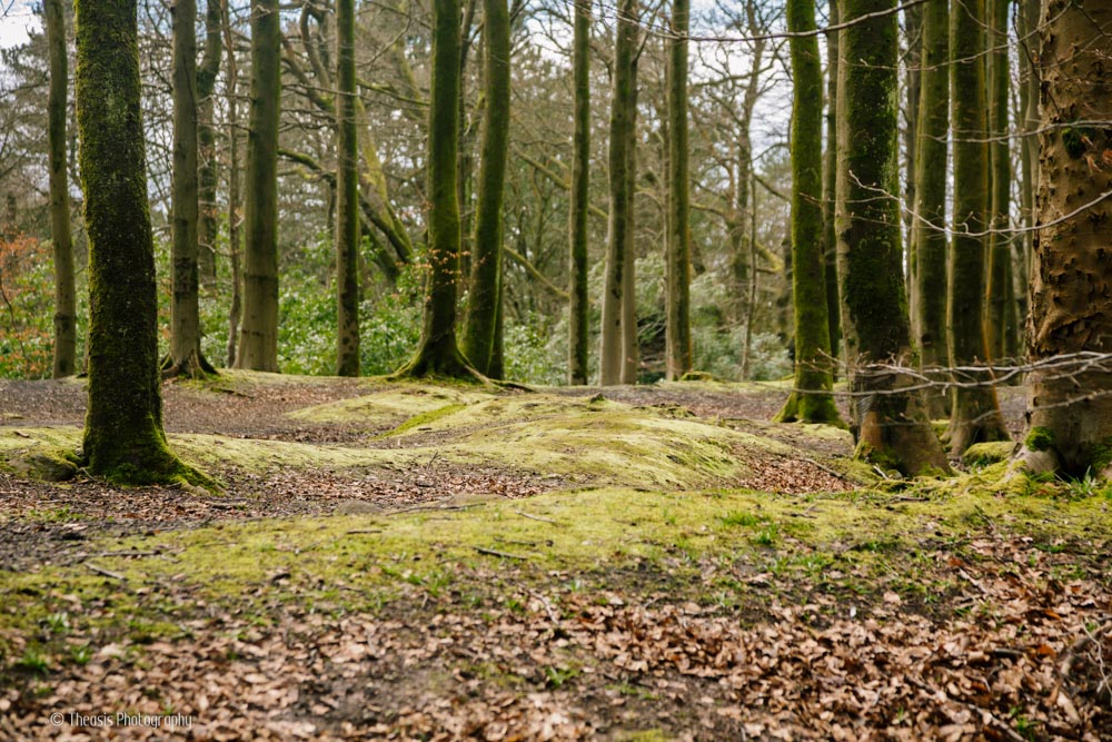
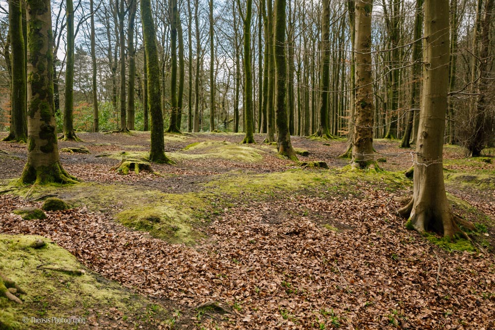
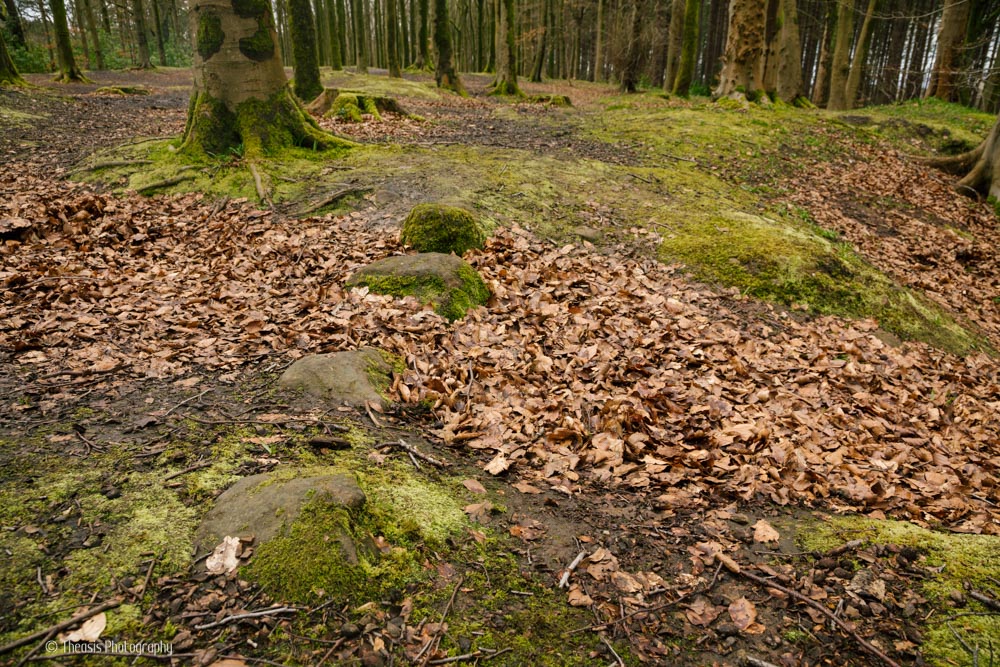
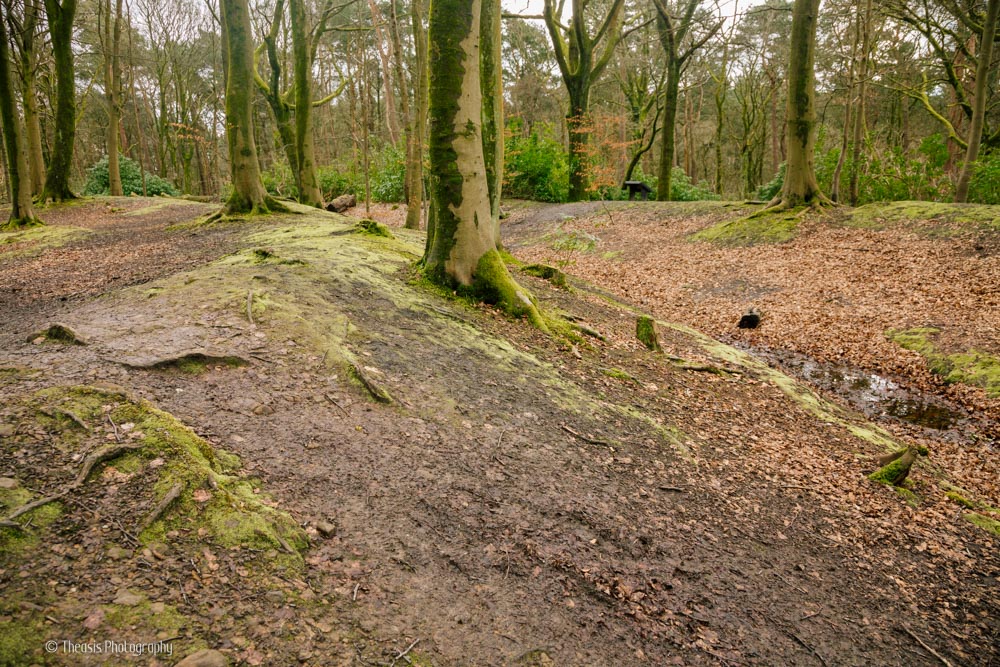
At first sight there is little more than a roughly circular ditch around a low hilltop. But at the east end of the earthwork is a clear entrance causeway. Along this are a line of kerb stones, and within the central area is a large, roughly-worked sandstone pillar pulled from one of the excavation trenches. The locations of several of the excavation trenches are still very clear. The excavations revealed a paved and cobbled area within the enclosure (check the CANMORE link above for some excellent pictures of the paved area within the trenches) and a well-made paved road leading out from the causeway and east of the enclosure for at least 15 metres (50 feet).
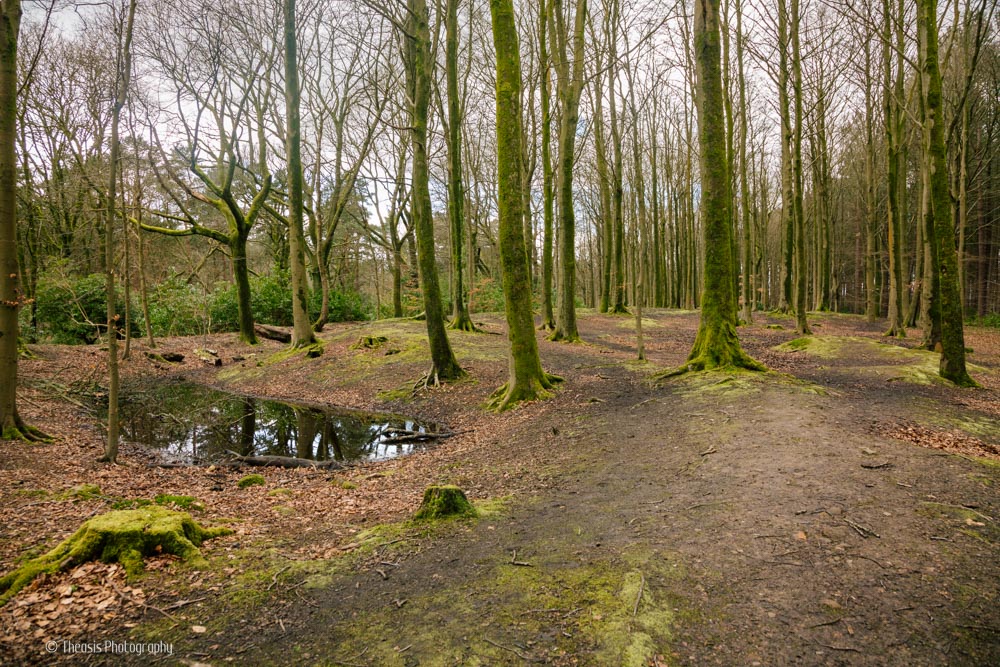
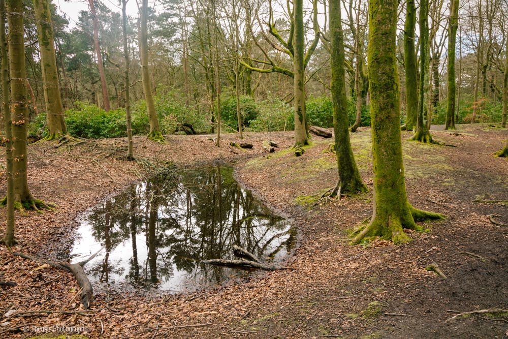
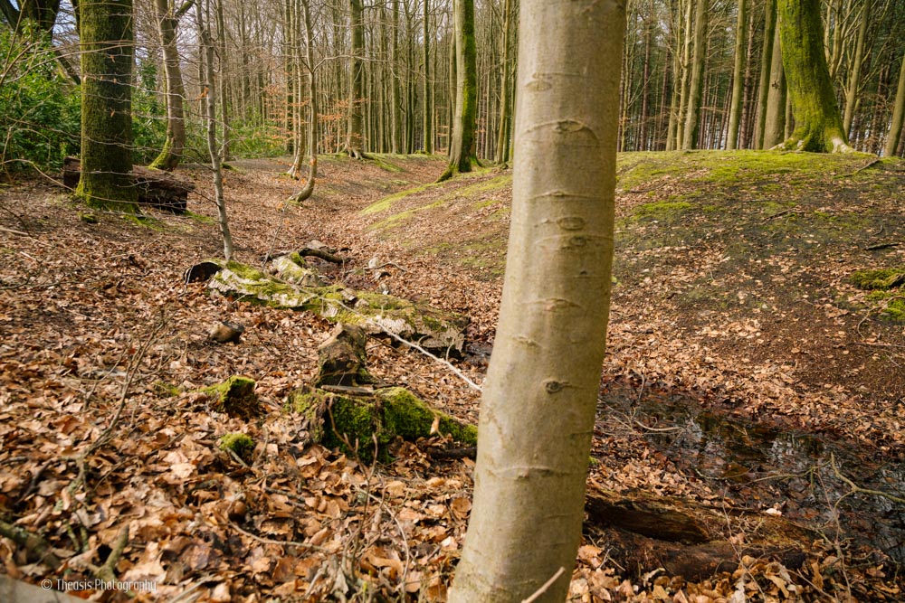
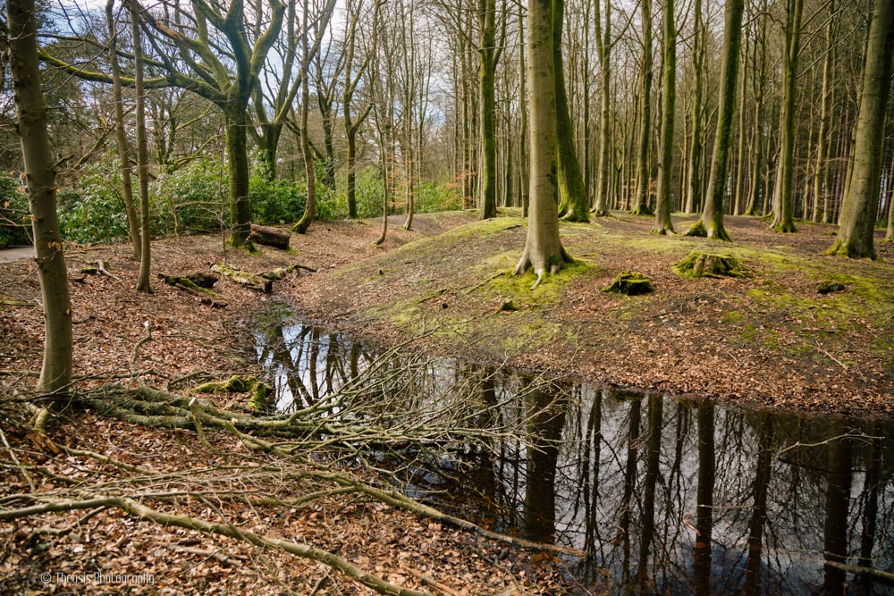
This area of Pollock Park is fairly dense with trees - probably not good for the archaeology, but beautiful for a walk where you can forget you're in the city.