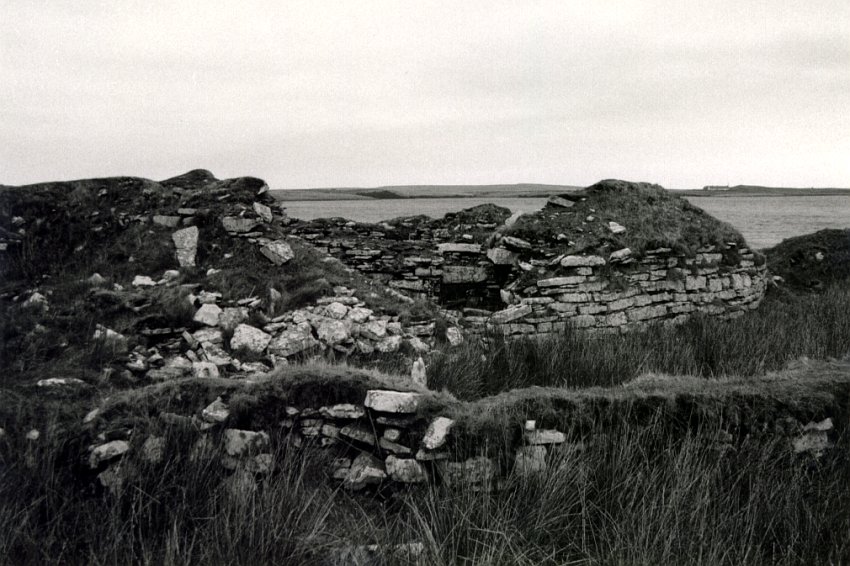
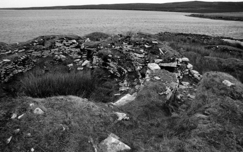
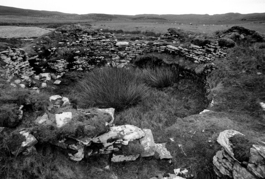
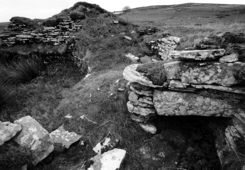
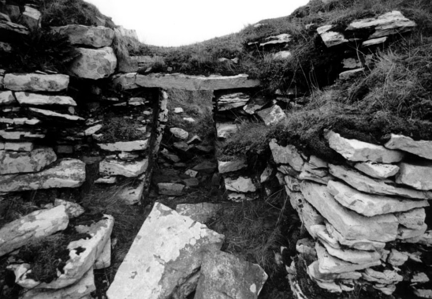
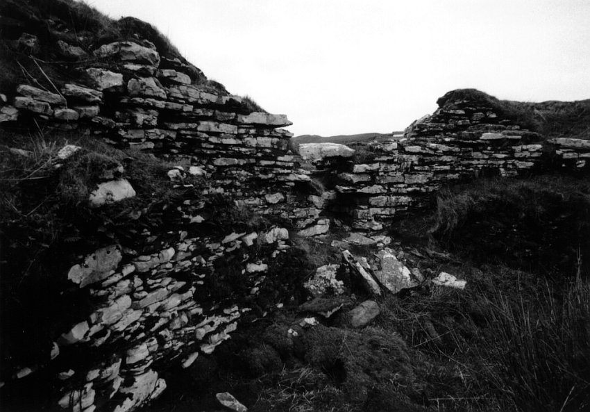
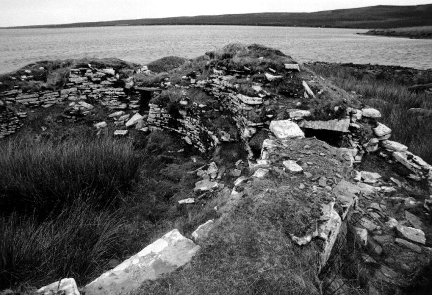
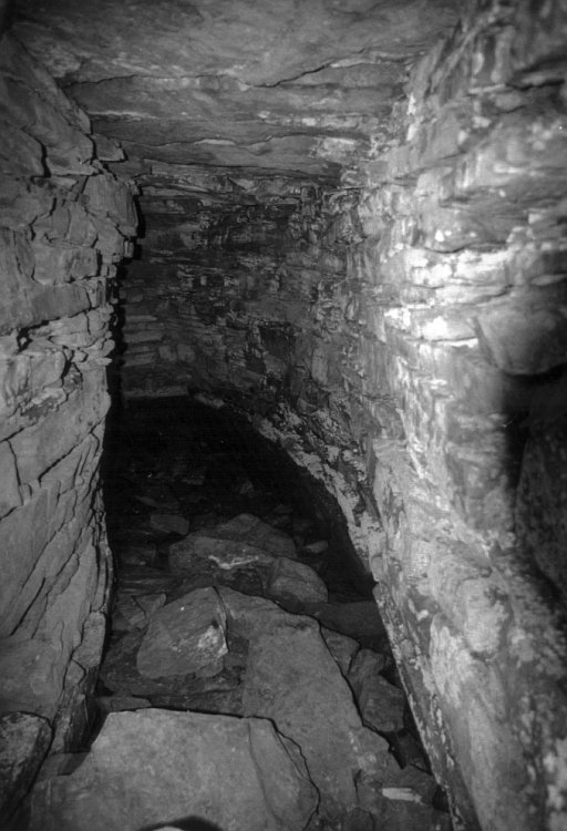
South Yarrows Broch, on the south west shore of the Loch of Yarrows, is in an area rich in archaeology from many periods. The broch itself has been dated to probably the late Iron Age.
The river emptying the loch has been dammed, so raising the water level. As a result, the broch is now waterlogged.
The walls are 4 metres thick and still stand up to 4 metres high, enclosing a circular area 10 metres in diameter. A later settlement was built against the broch wall on the side away from the loch. The broch itself has two entrances, which is very unusual. It is thought that the entrance facing the loch was originally built into the broch and the entrance in the south wall pushed through after the settlement outbuildings were added.
Nearby Sites
2km Cairn of Get Chambered Cairn
4km Camster Stone Row Stone Rows; Standing Stones
4km Grey Cairns of Camster - Long Cairn Chambered Long Cairn
4km Grey Cairns of Camster - Round Cairn Chambered Cairn
5km Hill O' Many Stanes Stone Rows; Standing Stones
5km Lower Camster Standing Stones
12km Achavanich Stone Circle
15km Guidebest Stone Circle; Cairns
(NB: All distances are as-the-crow-flies. Lochs, mountains and beautiful winding roads will make it further. Sometimes much further.)
